Matelot
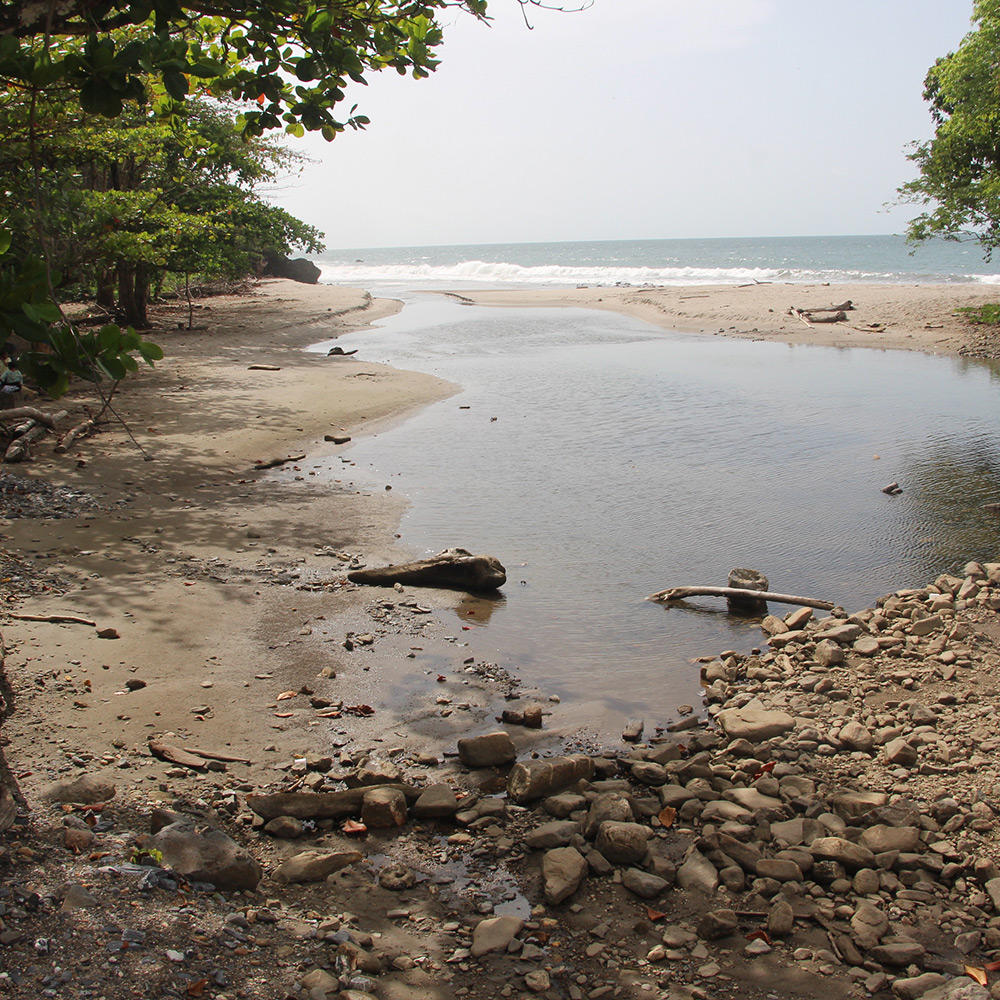
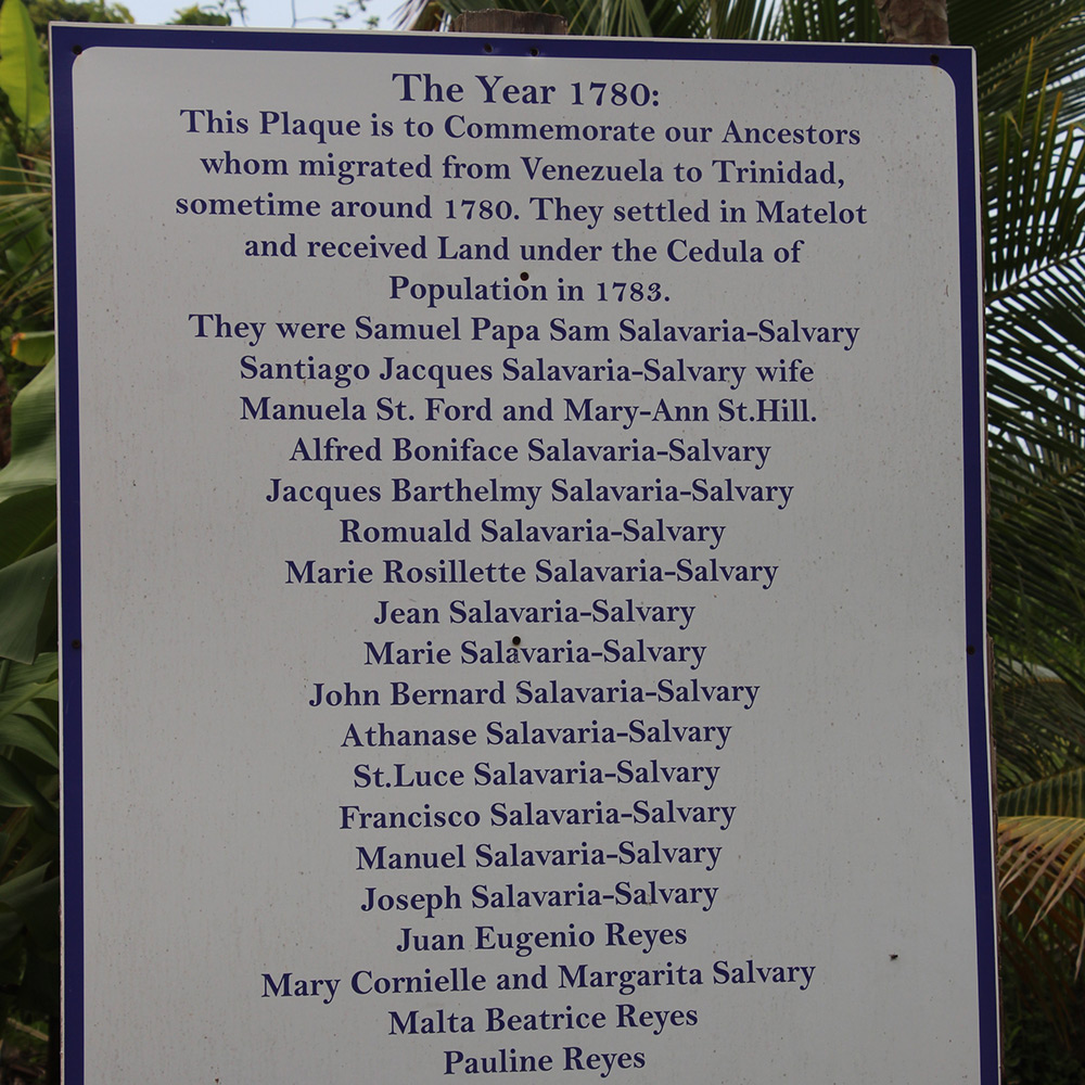
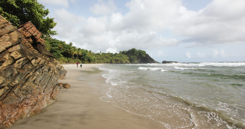
The peaceful countryside is timelessly enriched with stunning natural habitats, beaches, rivers, and waterfalls the sky is the limit in Matelot with lots of adventure for the nature seeker. The leatherback turtle also frequents its beaches to nest and is also an attraction for visitors. Wildlife is abundant and seen constantly running around the neighborhood are iguanas, red-rumped agoutis, and common opossums or manicous. Matelot is also a place to see rare birds and often seen is the pawi or piping-guan (Pipile Pipile), a turkey-like bird 65cm long, which is indigenous to Trinidad. The pawi once hunted to almost extinction, hops from tree to tree, and is an easy target for predators. Most distinct are the various species of butterflies such as the Blue Morpho or Emperor Butterfly, the monarch, and the swallowtail.
Its closest neighbour is Grand Riviere situated 5km away.
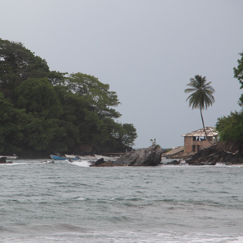
Matelot Bay, with its fishing depot, is located at the end of the Paria Main Road. The beach is small and unsheltered, so the water is often rough and not ideal for swimming. Turtles occasionally nest on this beach, and seamoss is collected here for sale.
The various hiking trails coming out from the village leads to breathtaking waterfalls, basins, and secluded beaches.
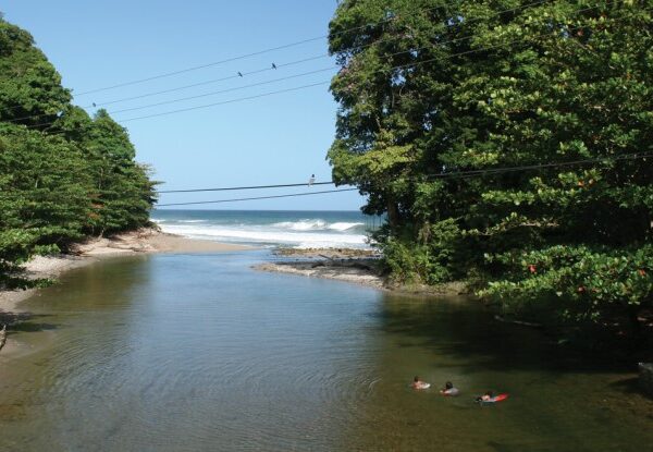 The Matelot River which enters the bay at its western end is a favourite recreational spot for river limes and swimming. Further upstream, a spectacular
destination is the Matelot Falls with there are a series of crystal, clear and secluded basins.
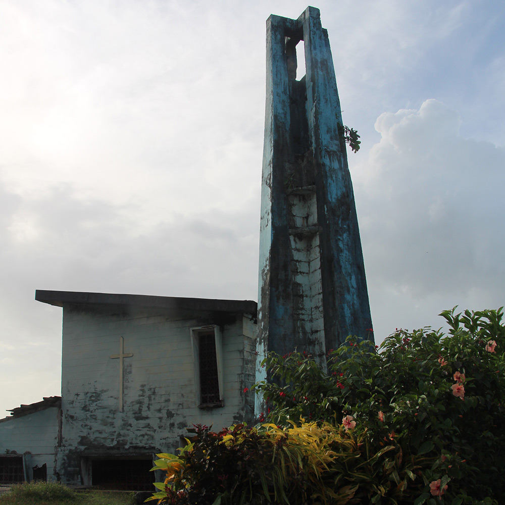
To reach the river follow the road uphill from the Roman Catholic Church, turn right at the junction and continue on to the end of the road.
Paria, Grand Tacarib and Madamas Beaches
The secluded beaches of Paria, Grand Tacarib and Madamas can be reached by hiking trail from Blanchisseuse or
Matelot, or by boat. The boat trip from Matelot takes about 40 minutes to Paria
and 30 minutes to Madamas.
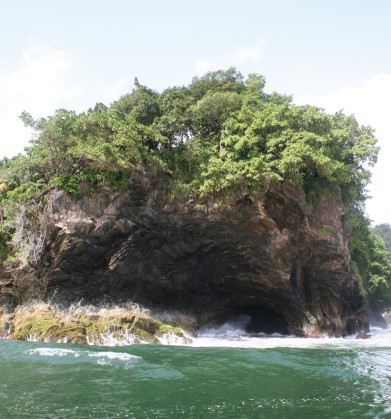
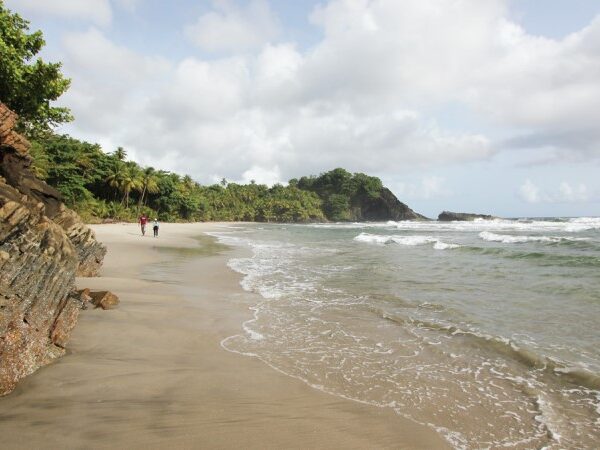 The journey provides breath-taking views of arches, stacks, caves and other rock formations along this coastline. Besides this scenery and the picture-perfect beaches, there are additional places of natural beauty. A stack formation is located within an arch on the western end of Paria and the refreshing Paria waterfall is just a fifteen minute walk inland from the beach.
Massive sandstone outcrops are exposed in layers at Grand Tacarib and a folded rock formation at Madamas allows a glimpse into the coastal processes that once helped to shape the island.
The beaches range between 800 m and 1 km in length, with Grand Tacarib being the longest. They have moderate to steep slopes and are composed of light-grey to brown, medium-grained sand. Generally wave energy is moderate to high and waves approach from the north. Wave heights range from 40 to 120 cm and longshore currents flow to the west.
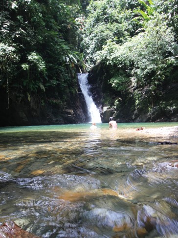 The Paria River and the Madamas River enter the sea at their respective beaches. The backshore of all three beaches is densely vegetated and consists of sand runners, coconut palms, almond, parrot apple and sea grape.
While these beaches are very scenic, caution should be exercised especially while bathing at Madamas and Grand Tacarib. Madamas Beach has an abrupt plunge point while Grand Tacarib has strong longshore currents and visible rip currents.
Leatherback turtles nest on these beaches between March and August while the hawksbill turtle nests later in the year. Prospective hikers should check-in at the nearest police station, informing officers of their intended destination and hiking time.
Sea Cave
 Enquiries should be made at the village for guides or boat rentals. This hiking trip could take a day Suitable footwear, food, drinking water, a first aid kit, insect repellent and necessary camping equipment are essential for an expedition of this kind.

